CHECK IN AND LET GLENN KNOW IF YOU ARE PLANNING TO PARTICIPATE ! ! !
Membership in NSRGA is not required to participate.
New boaters and passengers will need to sign a Release and Liability Waiver form.
Contact GLENN at nsrga@wvi.com If you are planning participate JUNE 1, 2024
Let us know if you need to be on the shuttle list,
or if you will arrange your own shuttle. |
List of participants registered for the JUNE 1, 2024 LTR. Names posted as received.= = = The following names are from the sign-up sheet gathered at the May 22, 2024 meeting or recently received by email or phone call.
* = request shuttle
Please check with Glenn Tadina if there is a error in the following information or if you are to be added to the June 1 LTR list.
Elijah Pannier *
David Getner * 12' pontoon
Mike Ferris * Larry Bond + Glenn Tadina
Bruce Scott * +( Jim Gemmel )
Aaron Estelle *
Rick Pare * new 2 man raft + (? room for passenger /)
Howard Kim * (+Bob Lusk )
John Thompson * added to list (+? J Muller yet to be verified)
BOB JOHNSTON WILL DO SHUTTLE
= = = = = = = = = =
( ? ) = NOT VERIFIED YET
JUNE 1, 2024 List updated Updated May 31 2024, 8:30 PM |
NOT PARTICIPATING:
This area is yet to be determined and will be updated as information received from boaters who previously cancelled their May LTR,
Michael Spurgeon
Terry Bergamo, Sr.
Greg Verharst
J Muller cancelled out.
|
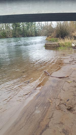
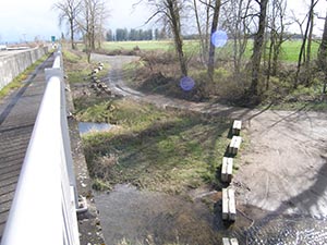
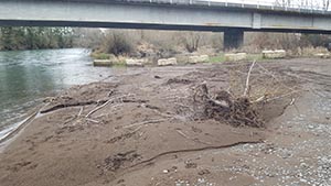
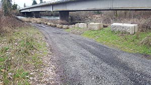 Entrance to Green's Bridge launch area
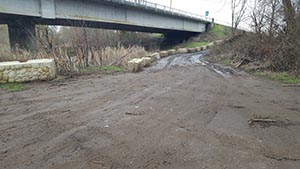 Half way down entrance
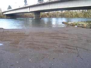
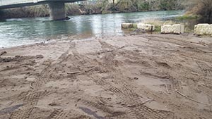 Upstream edge of launch area
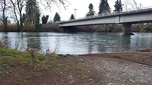 downstream edge of launch area
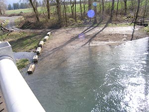
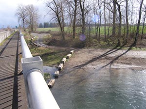